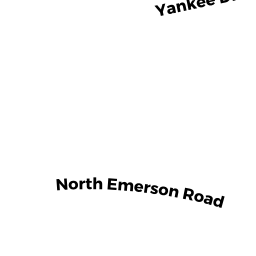
360 NORTH EMERSON RD
Owner Information
GABBY BRENT A &
360 NORTH EMERSON RD
LEXINGTON, MA 02420


Property Details
360 NORTH EMERSON RD is classified as a Single Family Residential.
The primary structure on this property was built in 1961. There are 3,700ft2 of built area within this property.
360 NORTH EMERSON RD is valued at $1,140,000. The land is valued at $618,000 and the structures are valued at $521,000.
This property is in Zone RO. Confirm with local Zoning Board authorities to ensure there are no overlays or other easements on this property.
The most recent deed for 360 NORTH EMERSON RD is recorded at the local registrar in Book 50906, Page 0180. 360 NORTH EMERSON RD was last sold on Wednesday, March 19, 2008 for $635,000.
Assessment data from fiscal year 2022.
Flood Data
According to the FEMA National Flood Hazard Layer, this property does not appear to be in a flood zone. It may also be in an area not yet reviewed. Nonetheless, confirm this information prior to taking any action.
To view the flood hazards around this property, create a FEMA "Firmette" Map of the area around 360 NORTH EMERSON RD.
Broadband Internet Providers
| Provider | Type | Bandwidth (mbps) | |
|---|---|---|---|
| GCI Communication Corp. | Satellite | 0 | 0 |
| VSAT Systems, LLC. | Satellite | 2 | 1 |
| Viasat Inc | Satellite | 100 | 3 |
| Verizon New England Inc. | Fiber | 940 | 880 |
| Comcast | Cable | 1000 | 35 |
| RCN | Cable | 500 | 20 |
| RCN | Cable | 1000 | 20 |
| HughesNet | Satellite | 25 | 3 |
Broadband service provider data from December 2020.
Adjacent Properties
- 8 ANGIER RD
Single Family Residential owned by FLEISCHMANN J L & FLEISCHMANN R S TRS - 358 NORTH EMERSON RD
Single Family Residential owned by DIESEL BRIAN & MAIREAD - 362 NORTH EMERSON RD
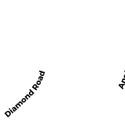
Single Family Residential owned by RHA SOOKYUN - 15 DIAMOND RD
Single Family Residential owned by USMANI HASAN MUEEN & USMANI GHAZALA